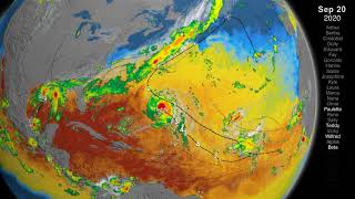
2005 Atlantic Hurricane Season GOES-12 Infrared Satellite Imagery Animation

Вставка
- Опубліковано 14 лип 2018
- June 1, 2005 - January 10, 2006
Atlantic Hurricane Season Satellite and Radar Imagery Animations:
www.weather.gov/lch/AtlanticH...
GOES-12 satellite imagery archive has the following limitations:
- Data integrity issues, with black or white lines across some of the frames.
- Data gaps in archive left intermittent gaps in the animations.
National Weather Service
Weather Forecast Office
Lake Charles, LA - Наука та технологія