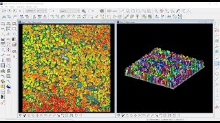
Mobile Mapping Systems - Processing tie lines and tie points (TerraMatch)

Вставка
- Опубліковано 10 лют 2019
- How to Match Separate Points Cloud by using TerraMatch tools
TMatch
MicroStation
TerraSolid
TerraMatch
Mobile Mapping Systems
LiDAR Applications
Matching point cloud
Separate point cloud
lidar
MMS
geomatics
engineering
civil engineering
surveying
tie point
tie lines - Наука та технологія


Thanks a lot for the video. Could you just tell me, how to import known gound control point(gcp) into design file to minimize the error in between trajectories and point cloud for MLS data
Is there any way to do registration of point cloud with ClodCompare?
Off curse there is another way, but that is dependent on the device you used to do scanning by using movable vehicles
Thank you for the video. When i do "search tie line" for some weird reason, it doesn't seem to find any. Please what do you think might be the cause of that?
contact me at qusaiansoor@gmail.com
send to me screenshot about the problems , i will help you in few days
@@Qusai_Al-Nsour Thanks a lot, will do just that. Kind regards.
:)