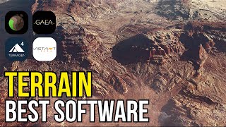
Videoguide - Import Terrain, BlenderGIS, Google Maps, Landscape, Buildings, Geographic Information

Вставка
- Опубліковано 31 лип 2023
- www.youtube.com/@jbdtube/join
Videoguide - Import Terrain from Google Maps with BlenderGIS, Toposurface, Landscape Buildings, Landmarks, Geographic Information System


You can also load a new terrain centered on a previously loaded one. That means you can first select a large area to get a good background in lower resolution, and then zoom in on whatever specific areas you need to be in high quality, and get a high quality map for those.
Beautiful tutorial.
Unfortunately when I press "E" to extract the portion it gives me this error "Python: TypeError: temp_override() takes no positional arguments".
When I can do it with the map and non-satellite option at the time of putting "GET SRTM" it tells me that I am missing the API key or to subscribe to Open topography.
Can you please help me
Great video. I'm thinking to use this to CNC a small section of a 3D terrain on wood. Do you know if it's possible?
what do i do wrong? for me it wont select the area :/
hi, i can not extrude the building, what shoul i do?