ua-cam.com/video/qQgXSS5fAac/v-deo.html The link for your information.... Please check Excel sheet that how to arrange data and converting to GIS. Best Luck
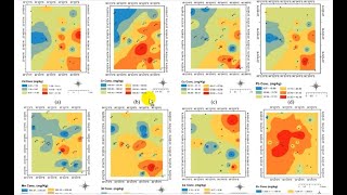
Asslamualikum, the data for water table was it for several years for all locations or was it for single year and season. Do we hv to take average value for interpolation or will it create raster using all values??
The values of water table in this tutorial is for single year... Yes you can use average value if you have more than one readings per year per location.


Thanks a lot for this, but can I know why and how we can chose or decide the best semivariogram and model? thanks again
Good day sir. What is the minimum number of sampling points that should be considered before using the Kriging tool in ArcGIS?
Thank you for this video. Can I know how you arranged the excel sheet so that it was read as per lat/lon?
ua-cam.com/video/qQgXSS5fAac/v-deo.html
The link for your information.... Please check Excel sheet that how to arrange data and converting to GIS. Best Luck
@@bestsolutionline Thank you so much!
Jazaakallah, Can you please show how to do krigging in Quantum GIS? I dont have ArcMap.
Asslamualikum, the data for water table was it for several years for all locations or was it for single year and season. Do we hv to take average value for interpolation or will it create raster using all values??
The values of water table in this tutorial is for single year... Yes you can use average value if you have more than one readings per year per location.
very good job sir,proud you
Jazakallah khayr sir
good