Marine Geomorphology -- Automated seafloor feature extraction

Вставка
- Опубліковано 16 жов 2024
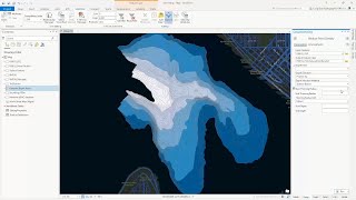
- Improvements in multi-beam and digital imagery technologies have resulted in high quality, detailed data about the seafloor over large areas. Ocean scientists are increasingly integrating imagery and raster analysis into their arsenal of analytical methodologies. Vinay Viswambharan from Esri’s Raster Team demonstrates techniques for object-based image analysis in ArcGIS Pro for the automated extraction of coral reef and sand borrow objects.