How To Plot With Distance And Bearing on AutoCAD

Вставка
- Опубліковано 28 тра 2022
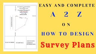
- A Survey plan is a document that measures the boundary of a parcel of land to give an accurate measurement and description of that land.
Also, get your "gift" here: selar.co/GetSurveyPlan
How to EASILY Draw a Survey Plan on AutoCAD for Beginners to Pro | Shortcuts and Commands
• How to Plot Survey Pla...


Can you teach on how to import png files into AutoCAD
Alright Surv Adebola, we'd look into it!
🤝