Georeferencing in qgis

Вставка
- Опубліковано 8 лют 2025
- How to use the Qgis georeferencer - 9 steps
1: Open the #qgis map that you’ll be Georeferencing to.
2: Open the Qgis georeferencer
3: Open the scanned image you want to georeferenced.
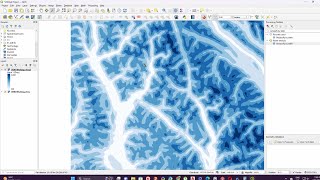
4: The map is open
5: Find ground control points
6: Match at least 3 ground control points
7: The Transformation Settings dialog
8: Start the Qgis georeferencer.
9: The image has been georeferenced in QGIS
georeference in qgis,
How do I use georeference in QGIS,
What is the georeference tool in QGIS,
What are the 3 types of georeference,
How do you use georeference,
Why do we use georeferencing in GIS,
How do I georeference an image in GIS,


thank you so much! this was the method that we used to do! im glad i found your tutorial.
the best
Georeference option is not found😢
I was having trouble also but, as shown on this tutorial, the georeference option is either under the RASTER menu or LAYER menu. And thanks to this tutorial I was able to understand why i couldn´t find it.
Layer > Georeferencer