GIS Helps Keep Wildlife on the Map

Вставка
- Опубліковано 1 вер 2022
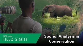
- Hundreds of years ago, elk were distributed across the entire U.S. Today, their range covers just a handful of states. The Nevada Department of Wildlife is working hard to preserve the elk population and other wildlife in their state so the story is not repeated, and GIS is a part of nearly every stage of the process. From Survey123 to QuickCapture, ArcGIS Online to Dashboards, Esri technology is instrumental for collecting and analyzing data on animals in near real time. It gives biologists more time to be biologists and not data managers, so they can focus on protecting wildlife for generations to come.
---------------------------------------------------------------------------------------------------
Follow us on Social Media!
Twitter: / esri
Facebook: / esrigis
LinkedIn: / esri
Instagram: / esrigram
TikTok: / esri_maps
The Science of Where: www.esri.com - Наука та технологія


Thank you for watching! If you have questions about our products or services, make sure to visit community.esri.com/. Is there a general topic you’d like us to cover in a future video? Let us know in the comments below!
Wow this is so cool! Im a student in Forest and Nature Conservation, and im really passionated about using ArcGIS to conserve nature with the use of modern technology. Nevada Department of Wildlife looks like a great company too!
A really amazing video showing the way we can actively use geospatial technology to give wildlife populations a fighting chance at survival if we know what affects them directly and can maximise the resources they have and increase their access to them. Thank you for this video @Esri .
I would love to work in this field. Inspirational!