3Dsurvey - How it works

Вставка
- Опубліковано 1 кві 2014
- CLICK HERE TO DOWNLOAD 3Dsurvey FREE TRIAL!
bit.ly/3DsurveyFreeTrial
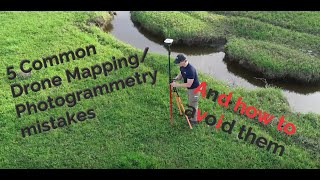
3Dsurvey is a photogrammetry software solution. Fly any drone, process images, generate dense point clouds, orthophotos, textured 3D models and survey maps.
Subscribe to 3Dsurvey: bit.ly/3DsurveyYTsubscribe
---- Follow 3Dsurvey ----
Subscribe to 3Dsurvey: bit.ly/3DsurveyYTsubscribe
On our website: www.3Dsurvey.com
On Facebook: / modriplanet
On Twitter: / 3dsurveydrone


Fantastic,.
so good....
awesome
Impressive
What drone has been used?
I want to learn this 3D survey...pls suggest where to learn this
is this compatible to dji phantom 4 plus v.2?
Wow
cost ?
Hi Shamstec, please visit our store bit.ly/35shhHU
In the store, you will find different sorts of license types and payment methods.
Thank you for your interest.
does the drone have a lidar module?
Hey Max, no lidar module, the drone only has camera, then 3Dsurvey converts aerial images into the pointclouds, orthos and terrain models.
@@3Dsurvey how accurate are the point clouds or measurements of 3d structures?
no