How to Georeference and Digitize Registry Index Map (RIM) in AutoCAD Civil 3D

Вставка
- Опубліковано 7 лют 2025
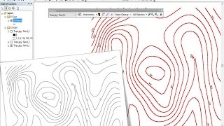
- A Registry Index Map (RIM) is a map that covers a large geographic area in which the land to be subdivided lies. At times we may need to georeference and digitize an RIM for the purpose of spatial analysis like finding the measurements such as area and length and to achieve this, digitization may be required. This video will help you understand the process of georeferencing and digitization of RIM in AutoCAD Civil 3D.


Thank you very much, explanation made it so simple.
Hi, Nice work man. Your video are very Educative.
Thanks Bro